New Jersey Transportation Planning Authority, Connectivity Study

Project Overview
The New Jersey Transportation Planning Authority (NJTPA) is the federally funded Metropolitan Planning Organization (MPO) for the northern New Jersey region, home to 6.6 million people and covering over one-half of the state’s land area. Connectivity of the region’s multi-modal transportation network, which provides access to opportunities and mobility for people and goods, is extremely critical.
The study took into account the needs of disadvantaged communities and populations with limited mobility options. Findings of this study will inform the NJTPA Congestion Management Process (CMP) (in particular the identification of needs and strategy suitability), the Regional Transportation Plan (RTP), action planning for the TNJ sustainability planning partnership, project prioritization for development of the Transportation Improvement Program (TIP), and other planning efforts.
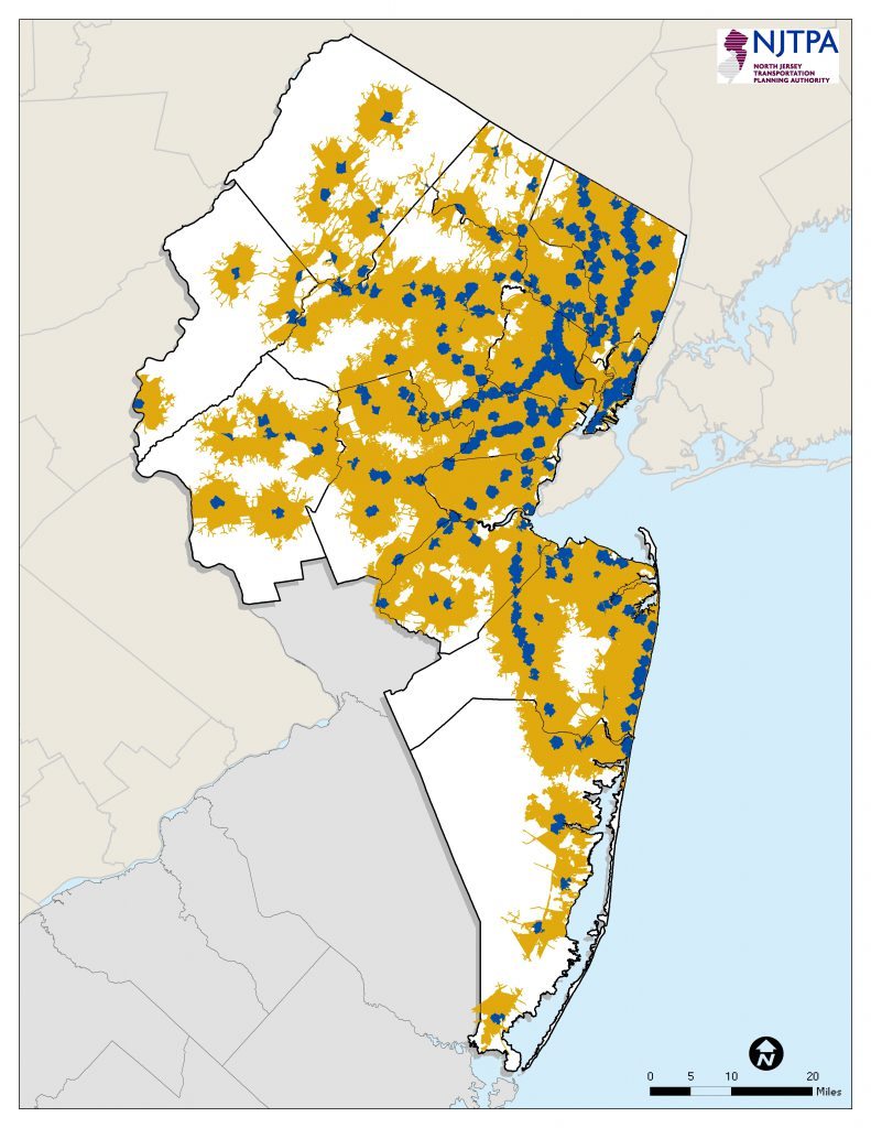
To assist with this study, Envision performed highly intensive research and GIS data gathering efforts in identifying data availability and suitability for local connectivity analysis for the 13-county NJTPA region. The team developed local performance measures, focusing on access to rail and bus service, bicycle and pedestrian safety, road connectivity, and the freight network. Envision created distance and time-based service area datasets through Esri’s Network Analyst tool extension. Results were presented to Transportation Management Associations. In addition, Envision created Technical Memorandums, generated custom maps, and delivered robust GIS datasets to the client.
NJTPA planning and investment has been guided by a desire to enhance system coordination, efficiency, and intermodal connectivity, and improve the integration and connectivity of the transportation system, across and between modes, for people and freight.
Project Information
- GIS
- Planning
- Data Analysis
- Community Involvement
- Mobility Study
